

Sale!

One Ocean Books Irish Cruising Club South And West Coast Of Ireland Sailing Directions 15th Edition
Original price was: $49.95.$33.97Current price is: $33.97.
- Your happiness, our mission.
- Free 1 year warranty period
- There are quality problems, free return and exchange
- Safe and Secure Payments, Always

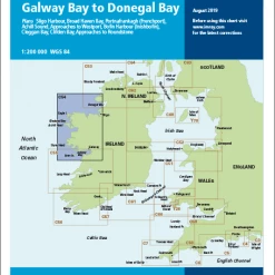
Covers from Rosslare west to Mizen Head and north to Bloody Foreland, by way of Cork, Baltimore, Bantry Bay, Dingle, the Aran Islands, Connemara, Clew Bay, Sligo and Donegal.
- A4, soft cover, 368 pages
- 65 colour plans
- 427 sea level and 275 aerial photographs, including 178 new drone photographs
- Text completely revised in respect of navigational aids, facilities and shoreside amenities
- Describes 337 ports, harbours and anchorages
- New or improved facilities at 12 harbours
- Latest findings from the INFOMAR hydrographic survey project including many hitherto uncharted dangers
- Sources of diesel fuel identified, in the light of the ban on marked diesel from January 2020 in the Republic of Ireland
Part Number: PIL0550
Edition: 2020
ISBN: 9780955819988
Publisher: Irish Cruising Club
Format: Paperback
Be the first to review “One Ocean Books Irish Cruising Club South And West Coast Of Ireland Sailing Directions 15th Edition”
Related products
Sale!
Original price was: $29.95.$19.47Current price is: $19.47.
Sale!
Original price was: $41.50.$31.13Current price is: $31.13.
Sale!
Original price was: $69.95.$48.97Current price is: $48.97.
Sale!

Original price was: $19.95.$12.77Current price is: $12.77.
Sale!
Original price was: $27.95.$20.68Current price is: $20.68.
Sale!

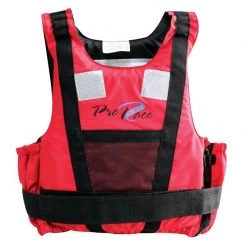
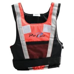
Buoyancy Aids
Original price was: $79.95.$55.17Current price is: $55.17.
Sale!
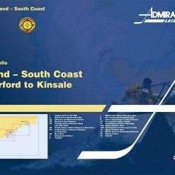
Books
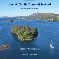
One Ocean Books Irish Cruising Club East And North Coast Of Ireland Sailing Directions 13th Edition
Original price was: $49.95.$31.47Current price is: $31.47.
Sale!

Original price was: $27.95.$16.77Current price is: $16.77.
Reviews
There are no reviews yet.